In the not-so-distant past, the idea of unmanned aerial vehicles (UAVs), commonly known as drones, seemed like science fiction. Today, they are a ubiquitous part of our world, revolutionizing industries ranging from agriculture to filmmaking. At the heart of this transformation lies the synergy between drones and video analysis software, a partnership that is reshaping the drone industry as we know it.
The Rise of Drones: Beyond Aerial Photography
Drones initially gained widespread attention for their prowess in aerial photography and cinematography. From capturing breathtaking landscapes for travel documentaries to providing unique angles for feature films, drones have rewritten the rules of visual storytelling. However, their potential extends far beyond the silver screen.
Synergy Between Drones and Video Analysis Software
Drones as Data Collectors: Beyond Visuals
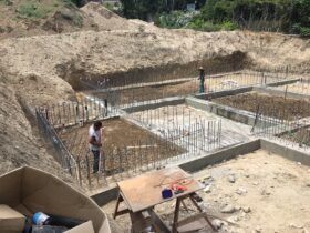
Modern drones are equipped with a plethora of sensors and cameras that can capture data beyond what the human eye can perceive. They have become valuable tools for various industries, including agriculture, environmental monitoring, construction, and infrastructure inspection.
The Data Deluge Dilemma
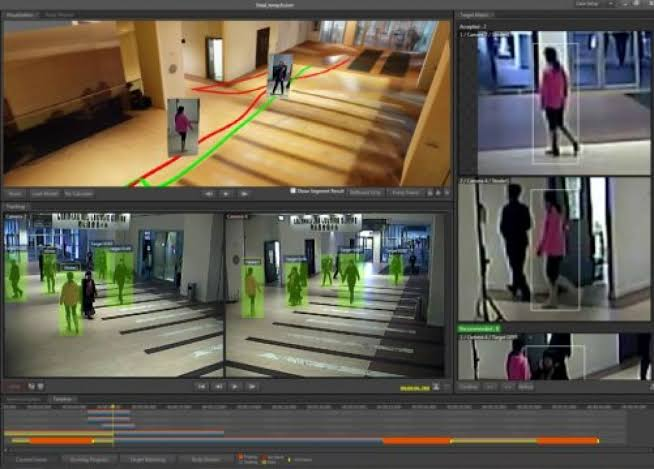
As drones collect vast amounts of data, a new challenge emerges: how to extract meaningful insights from this deluge of information. This is where video analysis software steps into the spotlight. These sophisticated tools can analyze and interpret the data collected by drones, transforming it into actionable intelligence.
Crop Monitoring: A Revolution in Agriculture
Imagine a farmer overseeing acres of crops with the aid of a drone. This drone can capture high-resolution images of the fields and use video analysis software to detect signs of stress, disease, or pests. Armed with this information, farmers can take targeted measures to protect their crops, reducing the need for pesticides and increasing yields.
Infrastructure Inspection: Scaling New Heights
Inspecting vast infrastructure like bridges, pipelines, and power lines can be a daunting and dangerous task. Drones equipped with video analysis software can perform these inspections efficiently and safely. They can detect structural issues, corrosion, or damage, allowing for timely maintenance and reducing the risk of accidents.
Environmental Conservation: Guardians of Nature
Drones have become invaluable tools for environmentalists and conservationists. They can monitor wildlife, track deforestation, and assess the impact of climate change. Video analysis software can identify and classify species, helping researchers collect data for conservation efforts and biodiversity studies.
Disaster Response: A Faster and Safer Approach
In the aftermath of natural disasters, time is of the essence. Drones equipped with thermal imaging cameras and video analysis software can quickly assess the extent of damage, locate survivors, and plan rescue operations. They can navigate through hazardous conditions that might be too perilous for human responders.
Security and Surveillance: Eyes in the Sky
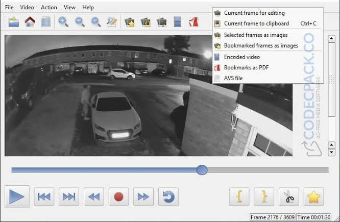
Drones have also found a place in the world of security and surveillance. They can patrol borders, monitor crowds at public events, and enhance the capabilities of law enforcement. Forensic video analysis software can identify suspicious behavior, recognize faces, and analyze traffic patterns, providing critical support to security personnel.

In Conclusion
The marriage of drones and video analysis software is a testament to human ingenuity. What began as a means to capture stunning aerial shots has evolved into a transformative force across multiple industries. From revolutionizing agriculture to enhancing environmental conservation and disaster response, the drone and software partnership is rewriting the rules of what is possible.
As technology continues to advance, we can only imagine the heights to which this dynamic duo will soar, shaping our world in unprecedented ways. The future is indeed looking up, thanks to the eye in the sky.


